Monitoring of the Urban Environment
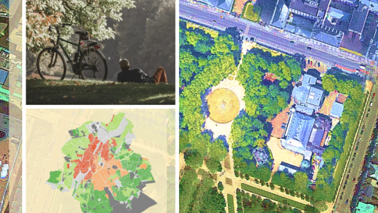
Due to improvements in the spatial, spectral and temporal resolution of satellite sensors and recent developments in laser scanning, the potential of remote sensing for mapping and monitoring urban areas has increased substantially. Remote sensing research within our team focuses on developing multi-source, multi-resolution methods for detailed mapping of grey and green infrastructure in urban environments, primarily for applications in urban ecological research. Our research relies on the use of machine learning and deep learning approaches for image interpretation leveraging the potential of these methods for urban mapping applications. Click for more
Geospatial Analysis of the Urban Ecosystems
Research activities on geospatial analysis of the urban environment includes monitoring and modelling of urban sprawl, monitoring of urban green(ing), participatory research on use and valuation of public green spaces and nature based solutions, impact of urban dynamics on urban ecosystem services, and urban quality-of-life assessments. The group also considers a social equity and environmental justice perspective in the analysis of the distribution of these urban ecosystems and the benefits they provide. Developing remote sensing and GIS-driven modelling approaches in support of local and regional decision making is an important concern in much of the work done by the lab. Click for more
Remote Sensing of Natural Hazards
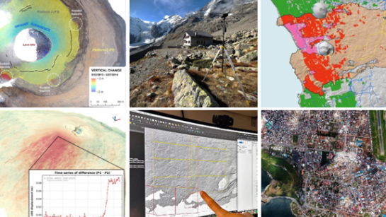
Through the FED-tWIN project “GuiDANCE” (i.e., a long-term collaboration with the Royal Museum for Central Africa), CGIS has developed a research line focusing on the study of geohazards in Africa. The main objectives are to better understand the physical processes underlying these hazards and gain insight into their spatial and temporal distribution in urban sprawling contexts. This research mainly focuses on landslides, floods and volcanoes, and makes use of Synthetic Aperture Radar (SAR) remote sensing and SAR interferometry (InSAR), Structure-from-Motion (SfM) photogrammetry, optical remote sensing, and UAV-based image acquisitions. Click for more


