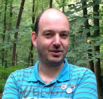
Tim Van de Voorde
Biography
In my research, remote sensing, spatial analysis and GIS techniques are used to help cities meet the challenges they face posed by rapid urbanisation, unplanned growth and global environmental change.
My work strives to combine aspects of both fundamental and applied research while addressing societal challenges, supporting policy development and including valorisation. I have developed methods and applications to map urban green infrastructure, monitor and model land-use change, urban growth and the resulting environmental impacts. This includes, for example, forecasting the spatial impact of alternative planning scenarios for strategic environmental impact assessment, improving hydrological models that predict runoff in urban watersheds to assess flood risk, and developing indicators of urban vegetation abundance and accessibility of urban green spaces.
My expertise includes:
- Urban green infrastructure and ecosystem services
- Urban remote sensing
- Sub-pixel classification of medium resolution satellite data
- Land-use change models
- Geographic information systems
- Python, ArcGIS and open-source GIS solutions
- Machine-learning approaches in remote-sensing based image classification
Location
Pleinlaan 2
1050 Brussel
Belgium
