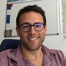
Benoît Smets
Biography
I am a geoscientist working in the field of remote sensing, photogrammetry, geohazards and volcanology. I am half-time Assistant Professor in Remote Sensing at the Department of Geography of the Vrije Universiteit Brussel (Cartography and GIS Research Group) and half-time Senior Researcher in the Department of Earth Sciences of the Royal Museum for Central Africa (Natural Hazards Research Unit). My current research focuses on the use of optical and radar imagery to study geohazards and their interactions with urban environments. More specifically, I work with (In)SAR remote sensing, photogrammetry, UAV imagery and historical aerial photographs on case studies mostly located in Africa. Since 2007, I developed an expertise in the understanding of volcanic, magmatic and tectonic processes associated with the Lake Kivu rift basin and Virunga Volcanic Province, in the western branch of the East African Rift System.
Location
Pleinlaan 2
1050 Brussel
Belgium
